Are you suffering from modeling in GIS?
An expensive GIS software is maybe not suitable for your purpose. If you are using one for analysis or simulation and feeling one of these: huge, complicated, slow and unremovable, it's time to change. Why MicroCity?
Versatile: |
Additional to fundamental GIS functions, many unique libraries such as Network, Fractal, 3D, Simulatoin and LP Solver have also been supported as built-in functions to facilitate scientific modeling. |
Open Source: |
You can use and customize it freely under the agreement without paying anything |
Lightweight: |
Extremely small file size and resource consumption |
Fast: |
Same operations are faster than any existing package |
Portable: |
You can just copy the directory of your model and run it everywhere |
Scriptable: |
You can easily build your model based on efficient MicroCity Script and run it on the fly. There are enormous extensible modules can be downloaded from web. |
User Friendly: |
Both the User Interface and the Application Programming Interface are designed to be very intuitive. Because it's used SAGA api, SAGA modules are also reusable. |
Screenshots
 |
 |
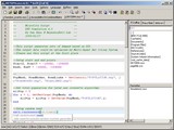 |
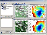
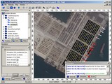
| Bus Accessibility Project | MicroPort Application | The MicroCity Script Editor |
 |
 |
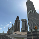 |
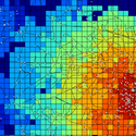
| Accessibility Analysis | Multi-agent System | 3D Real-time Representation |